
Godal topographic map
Click on the map to display elevation.
About this map
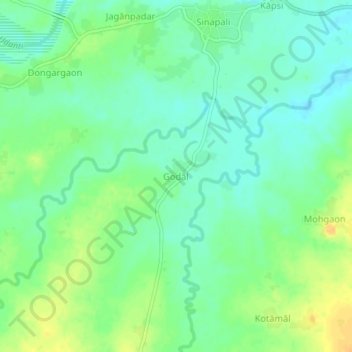
Name: Godal topographic map, elevation, terrain.
Location: Godal, Sinapali, Nuapada District, Odisha, India (20.06077 82.62304 20.10077 82.66304)
Average elevation: 252 m
Minimum elevation: 240 m
Maximum elevation: 269 m