
Ganthier topographic map
Interactive map
Click on the map to display elevation.
About this map
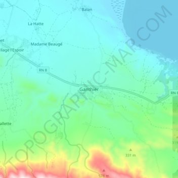
Name: Ganthier topographic map, elevation, terrain.
Average elevation: 155 m
Minimum elevation: 16 m
Maximum elevation: 709 m
Other topographic maps
Click on a map to view its topography, its elevation and its terrain.
Risqué
Haïti > Département de l'Ouest > Commune Ganthier > Risqué
Risqué, Commune Ganthier, Arrondissement de Croix-des-Bouquets, Département de l'Ouest, Haïti
Average elevation: 115 m