
Thank you for supporting this site ❤️
Make a donation
Make a donation
Davenport topographic map
Click on the map to display elevation.
Thank you for supporting this site ❤️
Make a donation
Make a donation
About this map
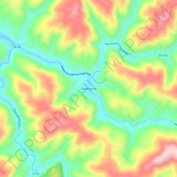
Name: Davenport topographic map, elevation, terrain.
Location: Davenport, Buchanan County, Virginia, 24239, United States (37.08066 -82.15680 37.12066 -82.11680)
Average elevation: 550 m
Minimum elevation: 434 m
Maximum elevation: 693 m
Thank you for supporting this site ❤️
Make a donation
Make a donation
Other topographic maps
Click on a map to view its topography, its elevation and its terrain.