
Thank you for supporting this site ❤️
Make a donation
Make a donation
Uphill topographic map
Click on the map to display elevation.
Thank you for supporting this site ❤️
Make a donation
Make a donation
About this map
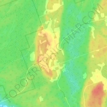
Name: Uphill topographic map, elevation, terrain.
Location: Uphill, Kawartha Lakes, Central Ontario, Ontario, Canada (44.72105 -79.02902 44.76105 -78.98902)
Average elevation: 264 m
Minimum elevation: 240 m
Maximum elevation: 288 m
Thank you for supporting this site ❤️
Make a donation
Make a donation
Other topographic maps
Click on a map to view its topography, its elevation and its terrain.