
Glasgow topographic map
Interactive map
Click on the map to display elevation.
About this map
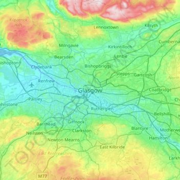
Name: Glasgow topographic map, elevation, terrain.
Location: Glasgow, Glasgow City, Schotland, G2 1DY, Verenigd Koninkrijk (55.70116 -4.41017 56.02116 -4.09017)
Average elevation: 128 m
Minimum elevation: -5 m
Maximum elevation: 554 m