
双塔区 topographic map
Interactive map
Click on the map to display elevation.
About this map
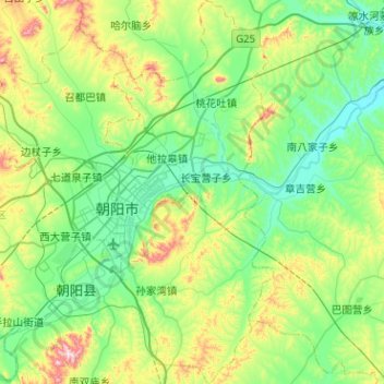
Name: 双塔区 topographic map, elevation, terrain.
Location: 双塔区, 朝阳市, 辽宁省, 122000, 中国 (41.40059 120.40795 41.78019 120.64575)
Average elevation: 270 m
Minimum elevation: 121 m
Maximum elevation: 755 m
Other topographic maps
Click on a map to view its topography, its elevation and its terrain.