
Thank you for supporting this site ❤️
Make a donation
Make a donation
Canneto topographic map
Click on the map to display elevation.
Thank you for supporting this site ❤️
Make a donation
Make a donation
About this map
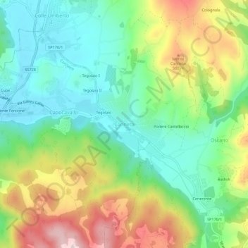
Name: Canneto topographic map, elevation, terrain.
Location: Canneto, Perugia, Umbria, 06133, Italia (43.13782 12.31518 43.17782 12.35518)
Average elevation: 377 m
Minimum elevation: 254 m
Maximum elevation: 587 m
Thank you for supporting this site ❤️
Make a donation
Make a donation