
Escopete topographic map
Interactive map
Click on the map to display elevation.
About this map
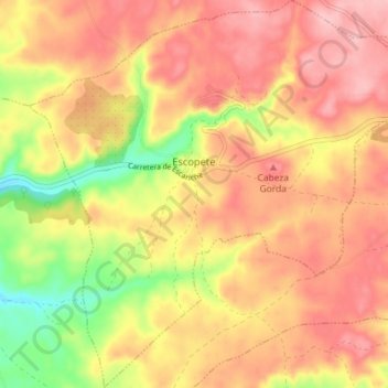
Name: Escopete topographic map, elevation, terrain.
Location: Escopete, Guadalajara, Castile-La Mancha, Spain (40.38353 -3.03813 40.43817 -2.96654)
Average elevation: 883 m
Minimum elevation: 798 m
Maximum elevation: 936 m