
Thank you for supporting this site ❤️
Make a donation
Make a donation
La Sortija topographic map
Click on the map to display elevation.
Thank you for supporting this site ❤️
Make a donation
Make a donation
About this map
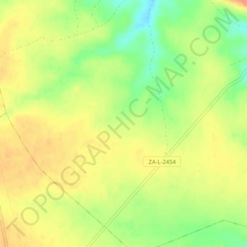
Name: La Sortija topographic map, elevation, terrain.
Location: La Sortija, Mahide, Zamora, Castilla y León, España (41.81549 -6.34947 41.83549 -6.32947)
Average elevation: 823 m
Minimum elevation: 796 m
Maximum elevation: 841 m
Thank you for supporting this site ❤️
Make a donation
Make a donation