
Jolo Island topographic map
Interactive map
Click on the map to display elevation.
About this map
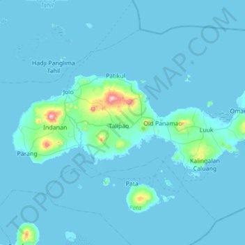
Name: Jolo Island topographic map, elevation, terrain.
Location: Jolo Island, Sulu, BARMM, 7400, Philippines (5.87437 120.87293 6.09096 121.42687)
Average elevation: 27 m
Minimum elevation: -6 m
Maximum elevation: 775 m
Other topographic maps
Click on a map to view its topography, its elevation and its terrain.