
Thank you for supporting this site ❤️
Make a donation
Make a donation
Whitesboro topographic map
Click on the map to display elevation.
Thank you for supporting this site ❤️
Make a donation
Make a donation
About this map
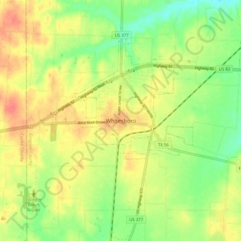
Name: Whitesboro topographic map, elevation, terrain.
Location: Whitesboro, Grayson County, Texas, 76273, USA (33.61647 -96.94598 33.69647 -96.86598)
Average elevation: 234 m
Minimum elevation: 205 m
Maximum elevation: 263 m
Thank you for supporting this site ❤️
Make a donation
Make a donation