
西山风景区 topographic map
Interactive map
Click on the map to display elevation.
About this map
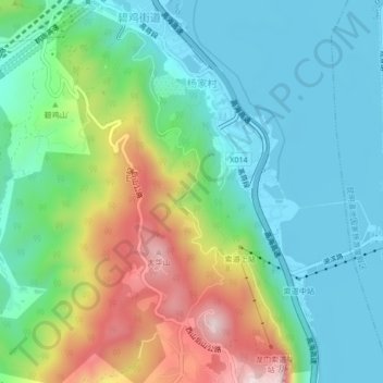
Name: 西山风景区 topographic map, elevation, terrain.
Location: 西山风景区, 西山区, 昆明市, 云南省, 中国 (24.94906 102.61235 24.98739 102.63978)
Average elevation: 2,034 m
Minimum elevation: 1,886 m
Maximum elevation: 2,384 m
Other topographic maps
Click on a map to view its topography, its elevation and its terrain.