
Thank you for supporting this site ❤️
Make a donation
Make a donation
Misner Corners topographic map
Click on the map to display elevation.
Thank you for supporting this site ❤️
Make a donation
Make a donation
About this map
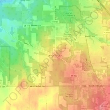
Name: Misner Corners topographic map, elevation, terrain.
Location: Misner Corners, Mahoning County, Ohio, 44406, United States (41.01596 -80.81692 41.05596 -80.77692)
Average elevation: 327 m
Minimum elevation: 277 m
Maximum elevation: 365 m
Thank you for supporting this site ❤️
Make a donation
Make a donation
Other topographic maps
Click on a map to view its topography, its elevation and its terrain.