
Thank you for supporting this site ❤️
Make a donation
Make a donation
Kirirom topographic map
Click on the map to display elevation.
Thank you for supporting this site ❤️
Make a donation
Make a donation
About this map
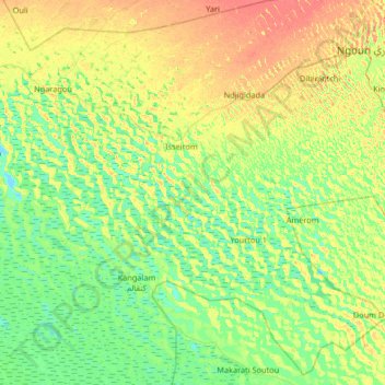
Name: Kirirom topographic map, elevation, terrain.
Location: Kirirom, Artoumassi 3, Chad (13.07826 14.75070 13.71826 15.39070)
Average elevation: 290 m
Minimum elevation: 276 m
Maximum elevation: 315 m
Thank you for supporting this site ❤️
Make a donation
Make a donation