
Thank you for supporting this site ❤️
Make a donation
Make a donation
Parker Highlands topographic map
Click on the map to display elevation.
Thank you for supporting this site ❤️
Make a donation
Make a donation
About this map
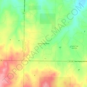
Name: Parker Highlands topographic map, elevation, terrain.
Location: Parker Highlands, Elbert County, Colorado, United States (39.45139 -104.67056 39.49139 -104.63056)
Average elevation: 1,961 m
Minimum elevation: 1,906 m
Maximum elevation: 2,018 m
Thank you for supporting this site ❤️
Make a donation
Make a donation
Other topographic maps
Click on a map to view its topography, its elevation and its terrain.