
Thank you for supporting this site ❤️
Make a donation
Make a donation
North Bend topographic map
Click on the map to display elevation.
Thank you for supporting this site ❤️
Make a donation
Make a donation
About this map
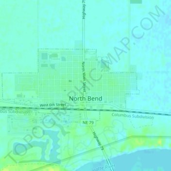
Name: North Bend topographic map, elevation, terrain.
Location: North Bend, Dodge County, Nebraska, United States (41.45893 -96.79765 41.47053 -96.76867)
Average elevation: 388 m
Minimum elevation: 384 m
Maximum elevation: 398 m
Thank you for supporting this site ❤️
Make a donation
Make a donation
Other topographic maps
Click on a map to view its topography, its elevation and its terrain.
Fremont
United States > Nebraska > Dodge County > Fremont
According to the United States Census Bureau, the city has a total area of 8.85 square miles (22.92 km2), of which 8.80 square miles (22.79 km2) is land and 0.05 square miles (0.13 km2) is water. Fremont lies in the river plain between the Platte and Elkhorn rivers, at an elevation of approximately 366 meters…
Average elevation: 378 m