
Thank you for supporting this site ❤️
Make a donation
Make a donation
Arnstein topographic map
Click on the map to display elevation.
Thank you for supporting this site ❤️
Make a donation
Make a donation
About this map
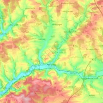
Name: Arnstein topographic map, elevation, terrain.
Location: Arnstein, Landkreis Main-Spessart, Beieren, 97450, Duitsland (49.93057 9.86463 50.05794 10.04609)
Average elevation: 282 m
Minimum elevation: 192 m
Maximum elevation: 385 m
Thank you for supporting this site ❤️
Make a donation
Make a donation