
Thank you for supporting this site ❤️
Make a donation
Make a donation
Mashbury topographic map
Click on the map to display elevation.
Thank you for supporting this site ❤️
Make a donation
Make a donation
About this map
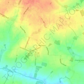
Name: Mashbury topographic map, elevation, terrain.
Location: Mashbury, Chelmsford, Essex, England, United Kingdom (51.77005 0.37807 51.79977 0.40619)
Average elevation: 64 m
Minimum elevation: 41 m
Maximum elevation: 84 m
Thank you for supporting this site ❤️
Make a donation
Make a donation
Other topographic maps
Click on a map to view its topography, its elevation and its terrain.