
Thank you for supporting this site ❤️
Make a donation
Make a donation
Pleasant Hill topographic map
Click on the map to display elevation.
Thank you for supporting this site ❤️
Make a donation
Make a donation
About this map
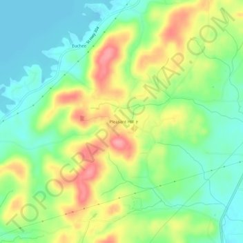
Name: Pleasant Hill topographic map, elevation, terrain.
Location: Pleasant Hill, Meigs County, Tennessee, United States (35.64341 -84.72827 35.68341 -84.68827)
Average elevation: 267 m
Minimum elevation: 225 m
Maximum elevation: 330 m
Thank you for supporting this site ❤️
Make a donation
Make a donation
Other topographic maps
Click on a map to view its topography, its elevation and its terrain.