
Thank you for supporting this site ❤️
Make a donation
Make a donation
Bu R'Wah topographic map
Click on the map to display elevation.
Thank you for supporting this site ❤️
Make a donation
Make a donation
About this map
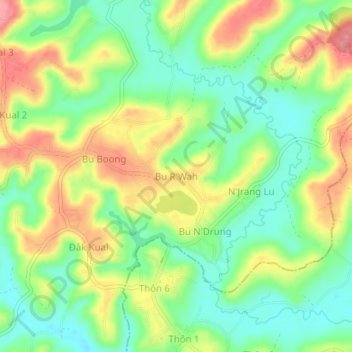
Name: Bu R'Wah topographic map, elevation, terrain.
Location: Bu R'Wah, Xã Đức An, Lâm Đồng Province, Vietnam (12.19032 107.55889 12.23032 107.59889)
Average elevation: 824 m
Minimum elevation: 779 m
Maximum elevation: 883 m
Thank you for supporting this site ❤️
Make a donation
Make a donation