
Thank you for supporting this site ❤️
Make a donation
Make a donation
Telegraph topographic map
Click on the map to display elevation.
Thank you for supporting this site ❤️
Make a donation
Make a donation
About this map
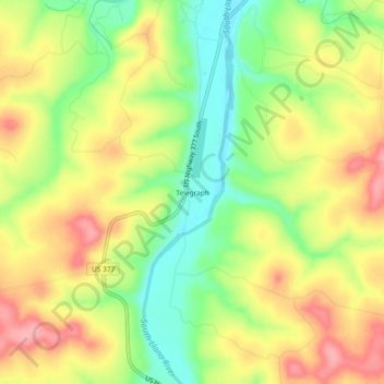
Name: Telegraph topographic map, elevation, terrain.
Location: Telegraph, Kimble County, Texas, 76883, United States (30.30742 -99.92618 30.34742 -99.88618)
Average elevation: 607 m
Minimum elevation: 552 m
Maximum elevation: 661 m
Thank you for supporting this site ❤️
Make a donation
Make a donation
Other topographic maps
Click on a map to view its topography, its elevation and its terrain.