
Thank you for supporting this site ❤️
Make a donation
Make a donation
Milower Land topographic map
Click on the map to display elevation.
Thank you for supporting this site ❤️
Make a donation
Make a donation
About this map
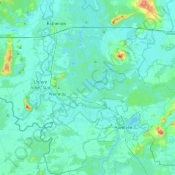
Name: Milower Land topographic map, elevation, terrain.
Location: Milower Land, Havelland, Brandenburg, Deutschland (52.43857 12.14217 52.63217 12.44995)
Average elevation: 33 m
Minimum elevation: 25 m
Maximum elevation: 92 m
Thank you for supporting this site ❤️
Make a donation
Make a donation
Other topographic maps
Click on a map to view its topography, its elevation and its terrain.
Thank you for supporting this site ❤️
Make a donation
Make a donation
Thank you for supporting this site ❤️
Make a donation
Make a donation