
Thank you for supporting this site ❤️
Make a donation
Make a donation
Tyson topographic map
Click on the map to display elevation.
Thank you for supporting this site ❤️
Make a donation
Make a donation
About this map
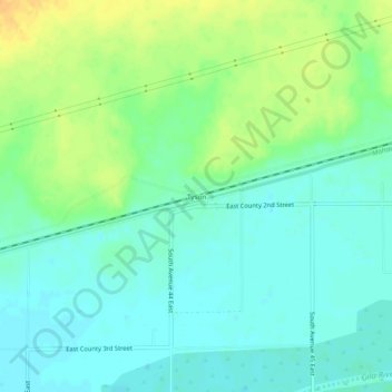
Name: Tyson topographic map, elevation, terrain.
Location: Tyson, Yuma County, Arizona, United States (32.77671 -113.90160 32.81671 -113.86160)
Average elevation: 94 m
Minimum elevation: 83 m
Maximum elevation: 113 m
Thank you for supporting this site ❤️
Make a donation
Make a donation
Other topographic maps
Click on a map to view its topography, its elevation and its terrain.
Thank you for supporting this site ❤️
Make a donation
Make a donation
Thank you for supporting this site ❤️
Make a donation
Make a donation
Yuma Territorial Prison State Historic Park
United States > Arizona > Yuma County > Yuma
Average elevation: 43 m
Thank you for supporting this site ❤️
Make a donation
Make a donation