
天山神木园 topographic map
Interactive map
Click on the map to display elevation.
About this map
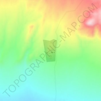
Name: 天山神木园 topographic map, elevation, terrain.
Location: 天山神木园, 温宿县, 阿克苏地区, 新疆维吾尔自治区, 中国 (41.58820 79.69878 41.59433 79.70387)
Average elevation: 1,673 m
Minimum elevation: 1,550 m
Maximum elevation: 1,871 m
Other topographic maps
Click on a map to view its topography, its elevation and its terrain.