
Thank you for supporting this site ❤️
Make a donation
Make a donation
Rockfield topographic map
Click on the map to display elevation.
Thank you for supporting this site ❤️
Make a donation
Make a donation
About this map
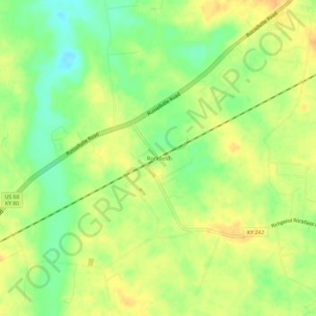
Name: Rockfield topographic map, elevation, terrain.
Location: Rockfield, Warren County, Kentucky, 42274, United States (36.89032 -86.58444 36.93032 -86.54444)
Average elevation: 179 m
Minimum elevation: 160 m
Maximum elevation: 193 m
Thank you for supporting this site ❤️
Make a donation
Make a donation
Other topographic maps
Click on a map to view its topography, its elevation and its terrain.