
Thank you for supporting this site ❤️
Make a donation
Make a donation
Lakeside Village topographic map
Click on the map to display elevation.
Thank you for supporting this site ❤️
Make a donation
Make a donation
About this map
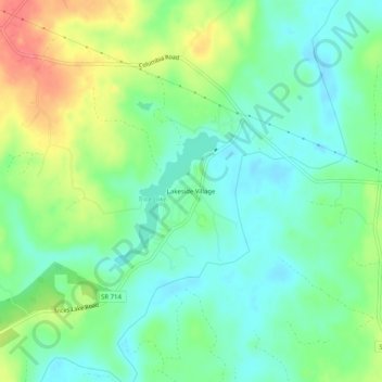
Name: Lakeside Village topographic map, elevation, terrain.
Location: Lakeside Village, Cumberland County, Virginia, United States (37.64348 -78.19833 37.68348 -78.15833)
Average elevation: 80 m
Minimum elevation: 55 m
Maximum elevation: 126 m
Thank you for supporting this site ❤️
Make a donation
Make a donation
Other topographic maps
Click on a map to view its topography, its elevation and its terrain.