
Faroe Islands topographic map
Interactive map
Click on the map to display elevation.
About this map
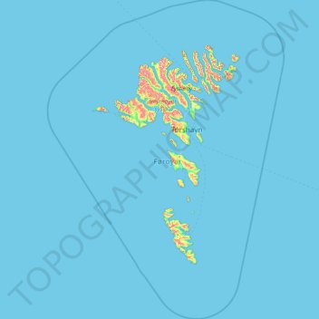
Name: Faroe Islands topographic map, elevation, terrain.
Location: Faroe Islands (61.28810 -7.79838 62.44762 -6.14133)
Average elevation: 21 m
Minimum elevation: -1 m
Maximum elevation: 851 m
Other topographic maps
Click on a map to view its topography, its elevation and its terrain.