
Thank you for supporting this site ❤️
Make a donation
Make a donation
Trombol topographic map
Click on the map to display elevation.
Thank you for supporting this site ❤️
Make a donation
Make a donation
About this map
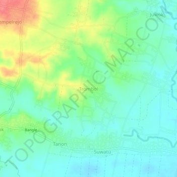
Name: Trombol topographic map, elevation, terrain.
Location: Trombol, Sragen, Central Java, Java, Indonesia (-7.37793 110.92140 -7.33793 110.96140)
Average elevation: 95 m
Minimum elevation: 74 m
Maximum elevation: 140 m
Thank you for supporting this site ❤️
Make a donation
Make a donation