
Thank you for supporting this site ❤️
Make a donation
Make a donation
Kerzell topographic map
Click on the map to display elevation.
Thank you for supporting this site ❤️
Make a donation
Make a donation
About this map
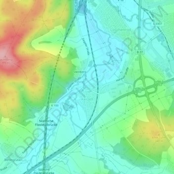
Name: Kerzell topographic map, elevation, terrain.
Location: Kerzell, Eichenzell, Landkreis Fulda, Hessen, Deutschland (50.47037 9.64614 50.50361 9.69282)
Average elevation: 301 m
Minimum elevation: 258 m
Maximum elevation: 403 m
Thank you for supporting this site ❤️
Make a donation
Make a donation
Other topographic maps
Click on a map to view its topography, its elevation and its terrain.