
Thank you for supporting this site ❤️
Make a donation
Make a donation
Mesa Colorado topographic map
Click on the map to display elevation.
Thank you for supporting this site ❤️
Make a donation
Make a donation
About this map
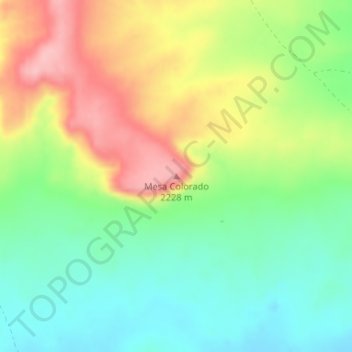
Name: Mesa Colorado topographic map, elevation, terrain.
Location: Mesa Colorado, Cibola County, New Mexico, United States (34.84027 -108.77096 34.84037 -108.77086)
Average elevation: 2,156 m
Minimum elevation: 2,097 m
Maximum elevation: 2,239 m
Thank you for supporting this site ❤️
Make a donation
Make a donation
Other topographic maps
Click on a map to view its topography, its elevation and its terrain.
El Malpais National Conservation Area
United States > New Mexico > Cibola County
Average elevation: 2,256 m