
西韩岭乡 topographic map
Interactive map
Click on the map to display elevation.
About this map
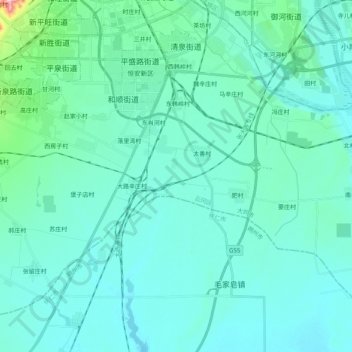
Name: 西韩岭乡 topographic map, elevation, terrain.
Location: 西韩岭乡, 云冈区, 大同市, 山西省, 中国 (39.88886 113.22139 40.04337 113.39404)
Average elevation: 1,030 m
Minimum elevation: 999 m
Maximum elevation: 1,276 m