
Thank you for supporting this site ❤️
Make a donation
Make a donation
Arran topographic map
Click on the map to display elevation.
Thank you for supporting this site ❤️
Make a donation
Make a donation
About this map
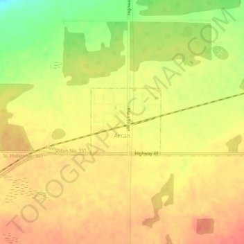
Name: Arran topographic map, elevation, terrain.
Location: Arran, Division No. 9, Saskatchewan, Canada (51.88065 -101.72543 51.88814 -101.71289)
Average elevation: 460 m
Minimum elevation: 423 m
Maximum elevation: 479 m
Thank you for supporting this site ❤️
Make a donation
Make a donation
Other topographic maps
Click on a map to view its topography, its elevation and its terrain.