
Payogasta topographic map
Interactive map
Click on the map to display elevation.
About this map
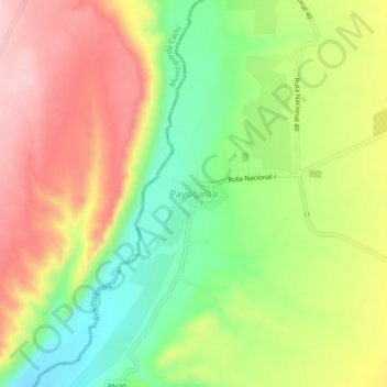
Name: Payogasta topographic map, elevation, terrain.
Location: Payogasta, Municipio de Payogasta, Cachi, Salta, Argentina (-25.07165 -66.12315 -25.03165 -66.08315)
Average elevation: 2,489 m
Minimum elevation: 2,396 m
Maximum elevation: 2,584 m