
Malmal topographic map
Interactive map
Click on the map to display elevation.
About this map
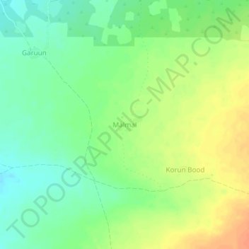
Name: Malmal topographic map, elevation, terrain.
Location: Malmal, Baardheere بااردىرآ, Gedo, Jubaland, Somalia (2.21584 42.33211 2.25584 42.37211)
Average elevation: 143 m
Minimum elevation: 125 m
Maximum elevation: 164 m