
Ts'ao-chia-p'o topographic map
Interactive map
Click on the map to display elevation.
About this map
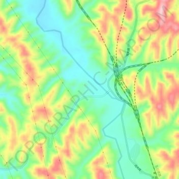
Name: Ts'ao-chia-p'o topographic map, elevation, terrain.
Location: Ts'ao-chia-p'o, 兴县, 吕梁市, 山西省, 中国 (38.36056 111.01278 38.40056 111.05278)
Average elevation: 1,061 m
Minimum elevation: 970 m
Maximum elevation: 1,190 m
Other topographic maps
Click on a map to view its topography, its elevation and its terrain.