
Thank you for supporting this site ❤️
Make a donation
Make a donation
Negales topographic map
Click on the map to display elevation.
Thank you for supporting this site ❤️
Make a donation
Make a donation
About this map
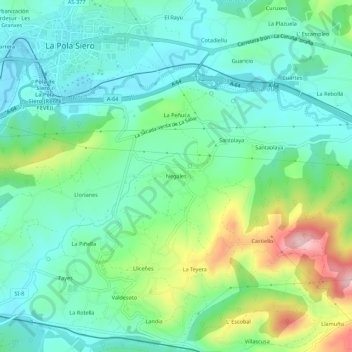
Name: Negales topographic map, elevation, terrain.
Location: Negales, Pola de Siero, Siero, Asturias, 33519, España (43.35656 -5.66422 43.39656 -5.62422)
Average elevation: 271 m
Minimum elevation: 201 m
Maximum elevation: 452 m
Thank you for supporting this site ❤️
Make a donation
Make a donation