
West Woodhay topographic map
Interactive map
Click on the map to display elevation.
About this map
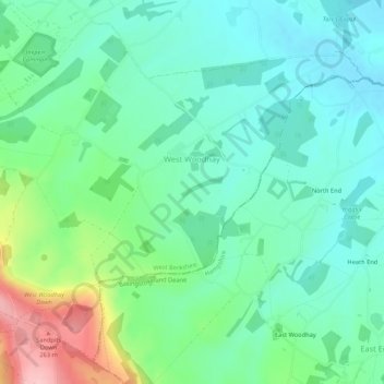
Name: West Woodhay topographic map, elevation, terrain.
Location: West Woodhay, West Berkshire, Engeland, Verenigd Koninkrijk (51.34812 -1.46059 51.37756 -1.40746)
Average elevation: 158 m
Minimum elevation: 112 m
Maximum elevation: 284 m