
Aero Vista topographic map
Interactive map
Click on the map to display elevation.
About this map
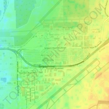
Name: Aero Vista topographic map, elevation, terrain.
Location: Aero Vista, El Paso County, Texas, 79908, USA (31.80427 -106.40860 31.84427 -106.36860)
Average elevation: 1,196 m
Minimum elevation: 1,181 m
Maximum elevation: 1,207 m