
新源镇 topographic map
Interactive map
Click on the map to display elevation.
About this map
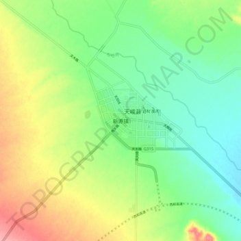
Name: 新源镇 topographic map, elevation, terrain.
Location: 新源镇, 天峻县, 海西蒙古族藏族自治州, 青海省, 中国 (37.25738 98.97380 37.33738 99.05380)
Average elevation: 3,426 m
Minimum elevation: 3,386 m
Maximum elevation: 3,490 m
Other topographic maps
Click on a map to view its topography, its elevation and its terrain.