
Thank you for supporting this site ❤️
Make a donation
Make a donation
I Lopi topographic map
Click on the map to display elevation.
Thank you for supporting this site ❤️
Make a donation
Make a donation
About this map
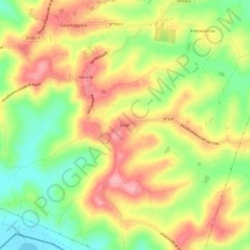
Name: I Lopi topographic map, elevation, terrain.
Location: I Lopi, Castiglione del Lago, Perugia, Umbria, 06061, Italia (43.06611 11.96023 43.10611 12.00023)
Average elevation: 314 m
Minimum elevation: 246 m
Maximum elevation: 377 m
Thank you for supporting this site ❤️
Make a donation
Make a donation