
Hidden Creek topographic map
Interactive map
Click on the map to display elevation.
About this map
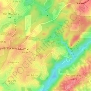
Name: Hidden Creek topographic map, elevation, terrain.
Location: Hidden Creek, Douglas County, Georgia, 30135, USA (33.69104 -84.69187 33.69576 -84.68609)
Average elevation: 286 m
Minimum elevation: 237 m
Maximum elevation: 322 m
Other topographic maps
Click on a map to view its topography, its elevation and its terrain.