
Castana topographic map
Interactive map
Click on the map to display elevation.
About this map
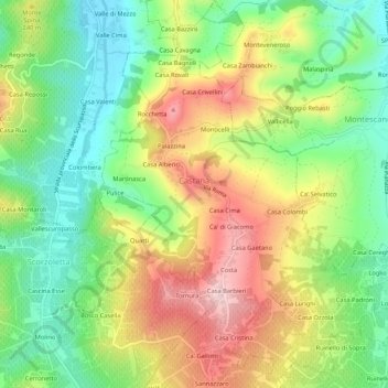
Name: Castana topographic map, elevation, terrain.
Location: Castana, PV, Lombardije, Italië (45.00674 9.25986 45.04409 9.30016)
Average elevation: 199 m
Minimum elevation: 95 m
Maximum elevation: 334 m