
Thank you for supporting this site ❤️
Make a donation
Make a donation
Gerhagen topographic map
Click on the map to display elevation.
Thank you for supporting this site ❤️
Make a donation
Make a donation
About this map
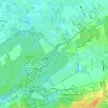
Name: Gerhagen topographic map, elevation, terrain.
Location: Gerhagen, Tessenderlo, Hasselt, Limburg, 3980, België (51.04218 5.02081 51.06218 5.04081)
Average elevation: 24 m
Minimum elevation: 14 m
Maximum elevation: 44 m
Thank you for supporting this site ❤️
Make a donation
Make a donation