
Thank you for supporting this site ❤️
Make a donation
Make a donation
Garden City topographic map
Click on the map to display elevation.
Thank you for supporting this site ❤️
Make a donation
Make a donation
About this map
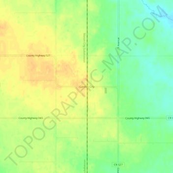
Name: Garden City topographic map, elevation, terrain.
Location: Garden City, Hardin County, Iowa, United States (42.22554 -93.41549 42.26554 -93.37549)
Average elevation: 359 m
Minimum elevation: 342 m
Maximum elevation: 372 m
Thank you for supporting this site ❤️
Make a donation
Make a donation
Other topographic maps
Click on a map to view its topography, its elevation and its terrain.
Thank you for supporting this site ❤️
Make a donation
Make a donation
Thank you for supporting this site ❤️
Make a donation
Make a donation