
Mästocka topographic map
Interactive map
Click on the map to display elevation.
About this map
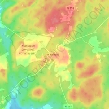
Name: Mästocka topographic map, elevation, terrain.
Location: Mästocka, Laholms kommun, Provinz Halland, Schweden (56.58769 13.23334 56.62769 13.27334)
Average elevation: 132 m
Minimum elevation: 96 m
Maximum elevation: 164 m