
Gulf Shores topographic map
Interactive map
Click on the map to display elevation.
About this map
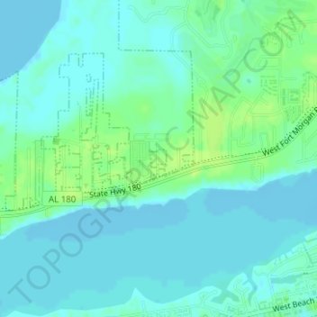
Name: Gulf Shores topographic map, elevation, terrain.
Location: Gulf Shores, Baldwin County, Alabama, USA (30.25844 -87.71276 30.25998 -87.71125)
Average elevation: 5 m
Minimum elevation: -3 m
Maximum elevation: 13 m