
Thank you for supporting this site ❤️
Make a donation
Make a donation
Stacyville topographic map
Click on the map to display elevation.
Thank you for supporting this site ❤️
Make a donation
Make a donation
About this map
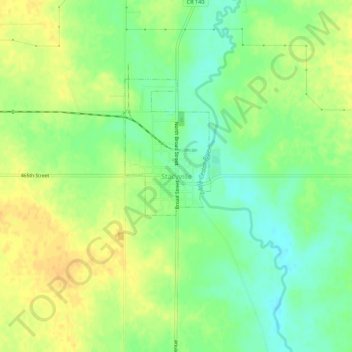
Name: Stacyville topographic map, elevation, terrain.
Location: Stacyville, Mitchell County, Iowa, 50476, United States (43.41608 -92.80241 43.45608 -92.76241)
Average elevation: 372 m
Minimum elevation: 356 m
Maximum elevation: 385 m
Thank you for supporting this site ❤️
Make a donation
Make a donation