
Ilejemeje topographic map
Interactive map
Click on the map to display elevation.
About this map
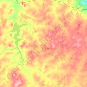
Name: Ilejemeje topographic map, elevation, terrain.
Location: Ilejemeje, Ekiti State, Nigeria (7.90428 5.16471 8.02054 5.28286)
Average elevation: 536 m
Minimum elevation: 416 m
Maximum elevation: 604 m
Other topographic maps
Click on a map to view its topography, its elevation and its terrain.