
Thank you for supporting this site ❤️
Make a donation
Make a donation
Meuspath topographic map
Click on the map to display elevation.
Thank you for supporting this site ❤️
Make a donation
Make a donation
About this map
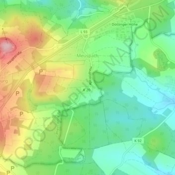
Name: Meuspath topographic map, elevation, terrain.
Location: Meuspath, Adenau, Landkreis Ahrweiler, Rijnland-Palts, Duitsland (50.32787 6.95244 50.35270 6.98440)
Average elevation: 538 m
Minimum elevation: 468 m
Maximum elevation: 653 m
Thank you for supporting this site ❤️
Make a donation
Make a donation
Other topographic maps
Click on a map to view its topography, its elevation and its terrain.