
Odo Otin topographic map
Interactive map
Click on the map to display elevation.
About this map
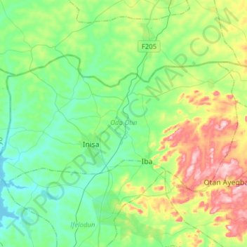
Name: Odo Otin topographic map, elevation, terrain.
Location: Odo Otin, Osun State, Nigeria (7.93692 4.54335 8.07568 4.79555)
Average elevation: 410 m
Minimum elevation: 326 m
Maximum elevation: 623 m
Other topographic maps
Click on a map to view its topography, its elevation and its terrain.